
The drive from Santa Barbara to Monterrey non stop along the PCH is about 4.5 hours. We were fed, watered and loaded up shortly after 10am…we arrived in Monterrey about 7:30 🤷♂️. This was my favourite leg of the drive up the coast, it was so scenic with so many stops and to do’s. We thought we had paced it out with enough time to see the sights but if we were to do it again I’d maybe add another overnight or two in between Santa Barbara and Moneterrey. I don’t think we were rushed but there was definitely some stops we passed by with time on our mind.
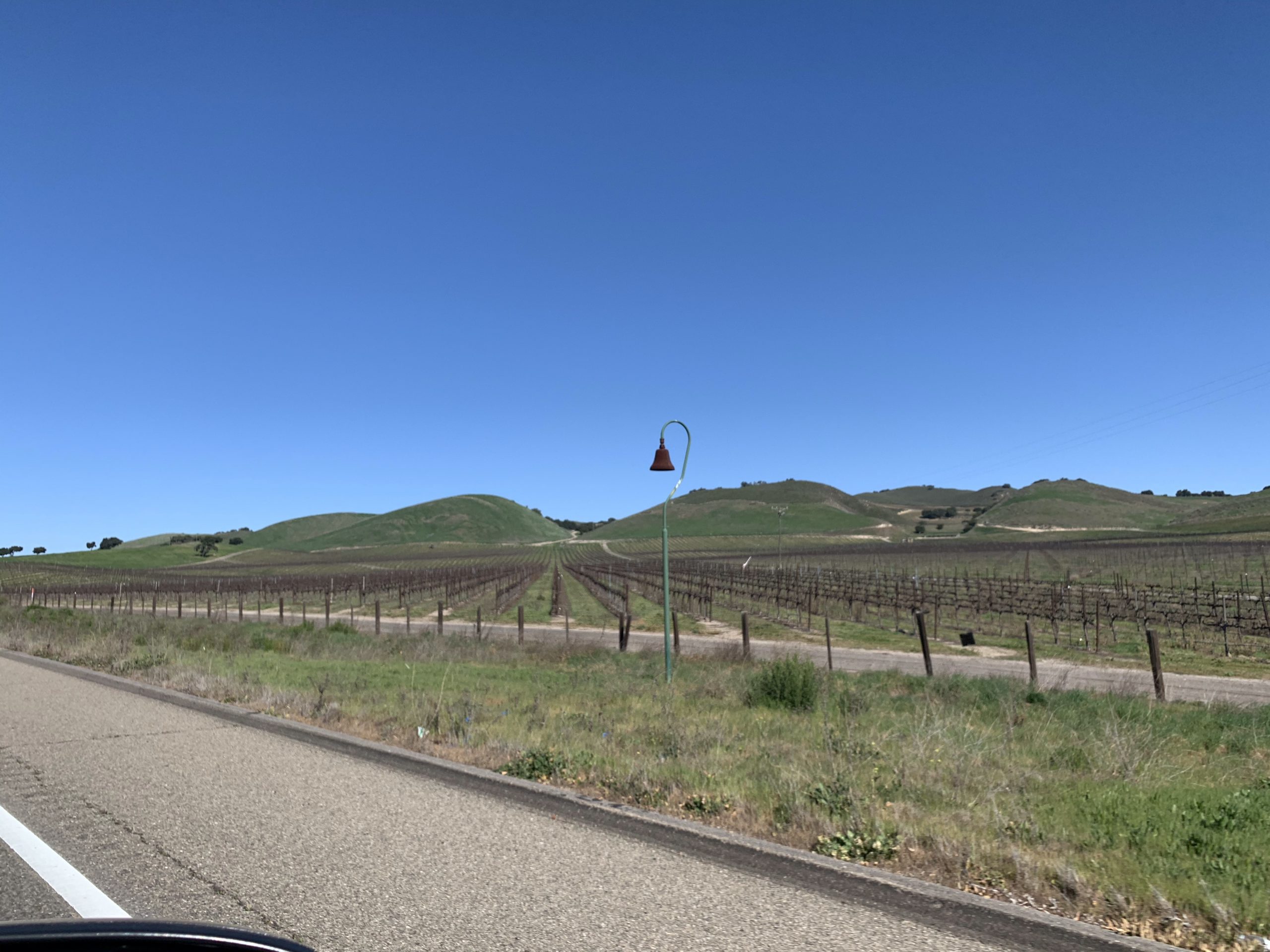
Leaving Santa Barbara we passed by some wineries and started seeing these bells on the side of the road. A quick google says they were originally put up in 1906 along the “El Camino Real” or the Royal Road or Kings Highway. The road once connected missions and the bells were spaced so that each mission was a day away by horseback.
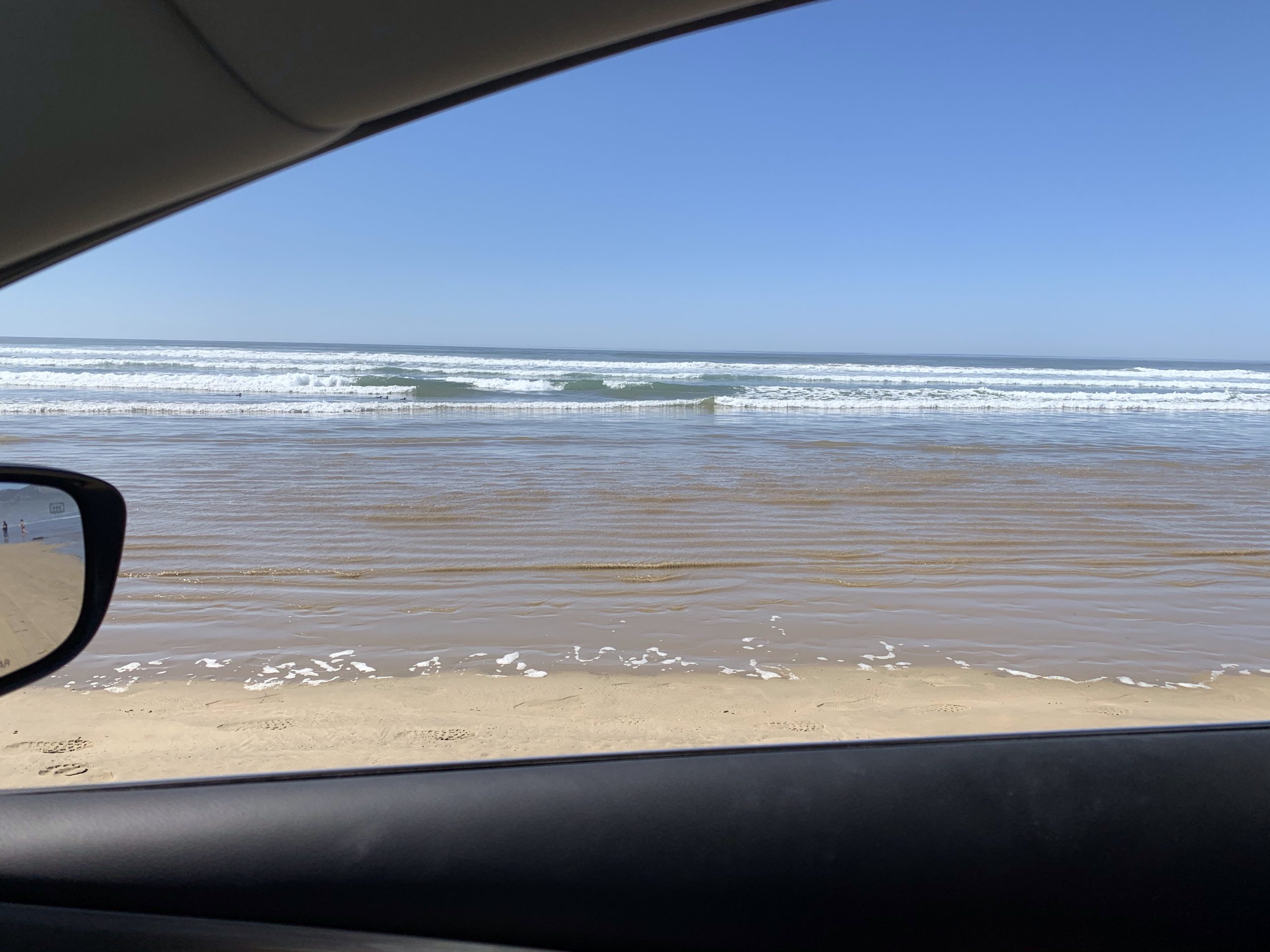
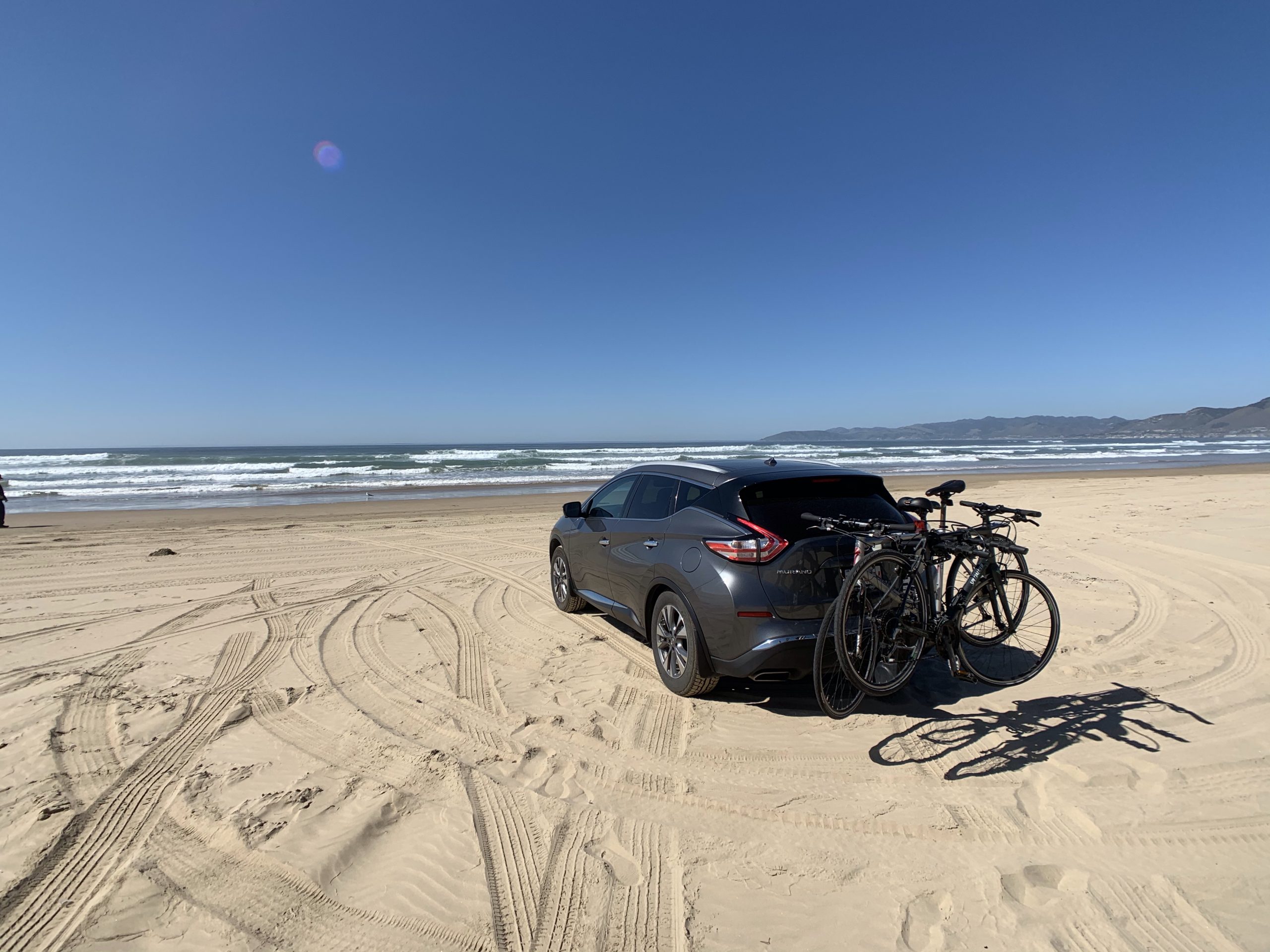
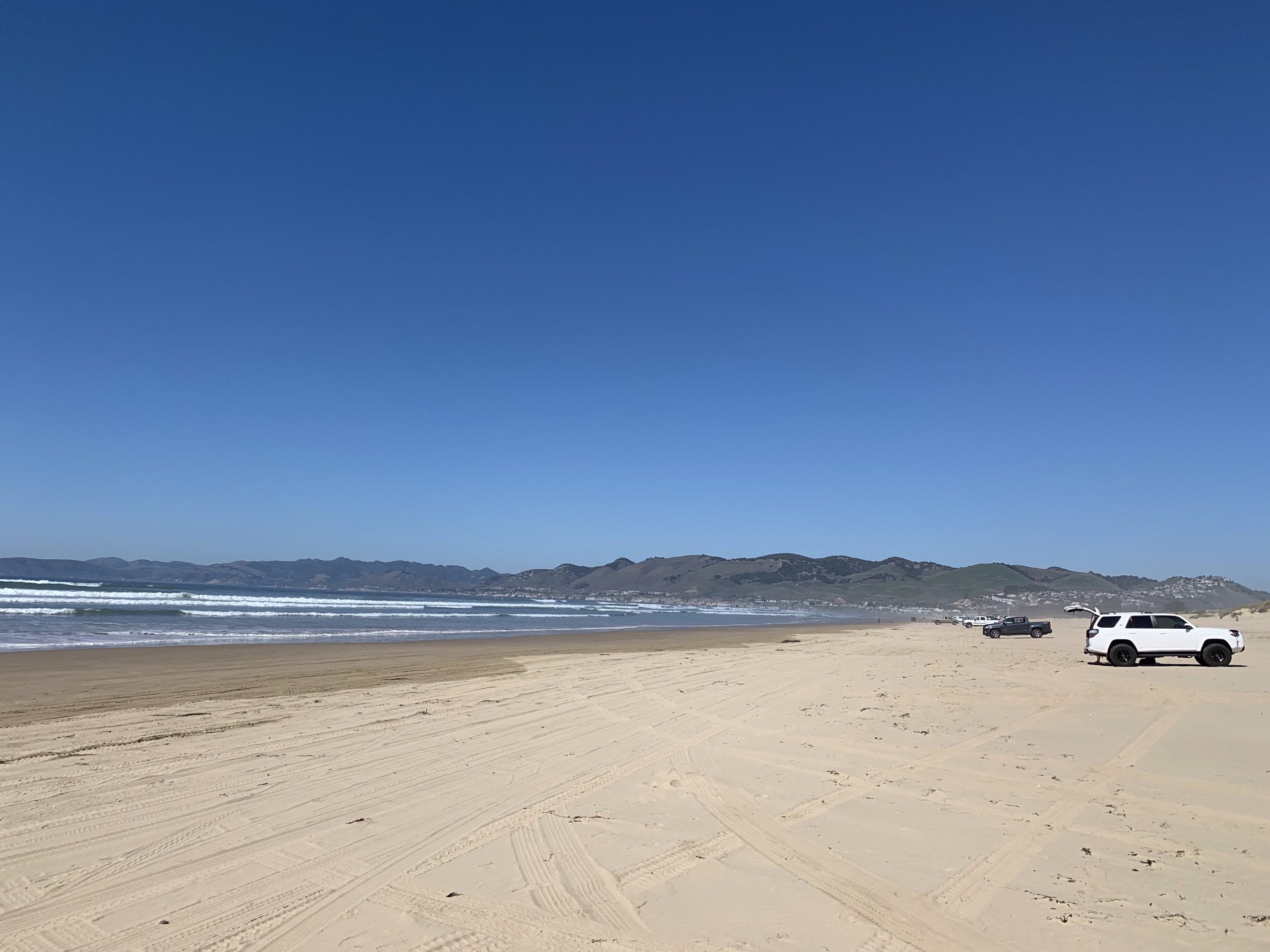
Our first stop along the way was Pismo Beach. We drove on the beach and had lunch, they charge $5 for entry but it was a pretty unique experience. It was a little unnerving as they recommend 4WD, Murray is pretty awesome but he is only AWD and getting stuck would’ve been a bummer.
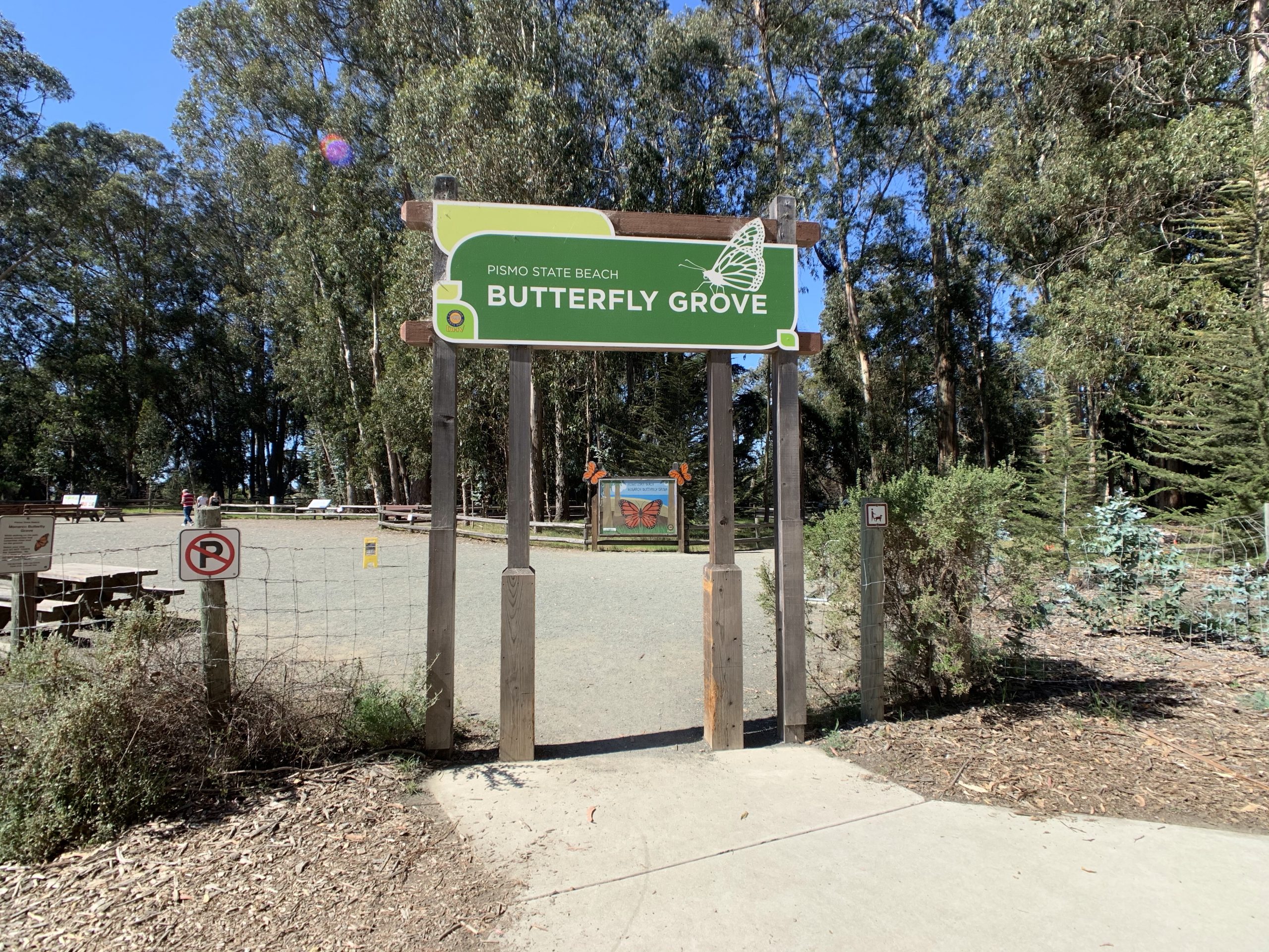
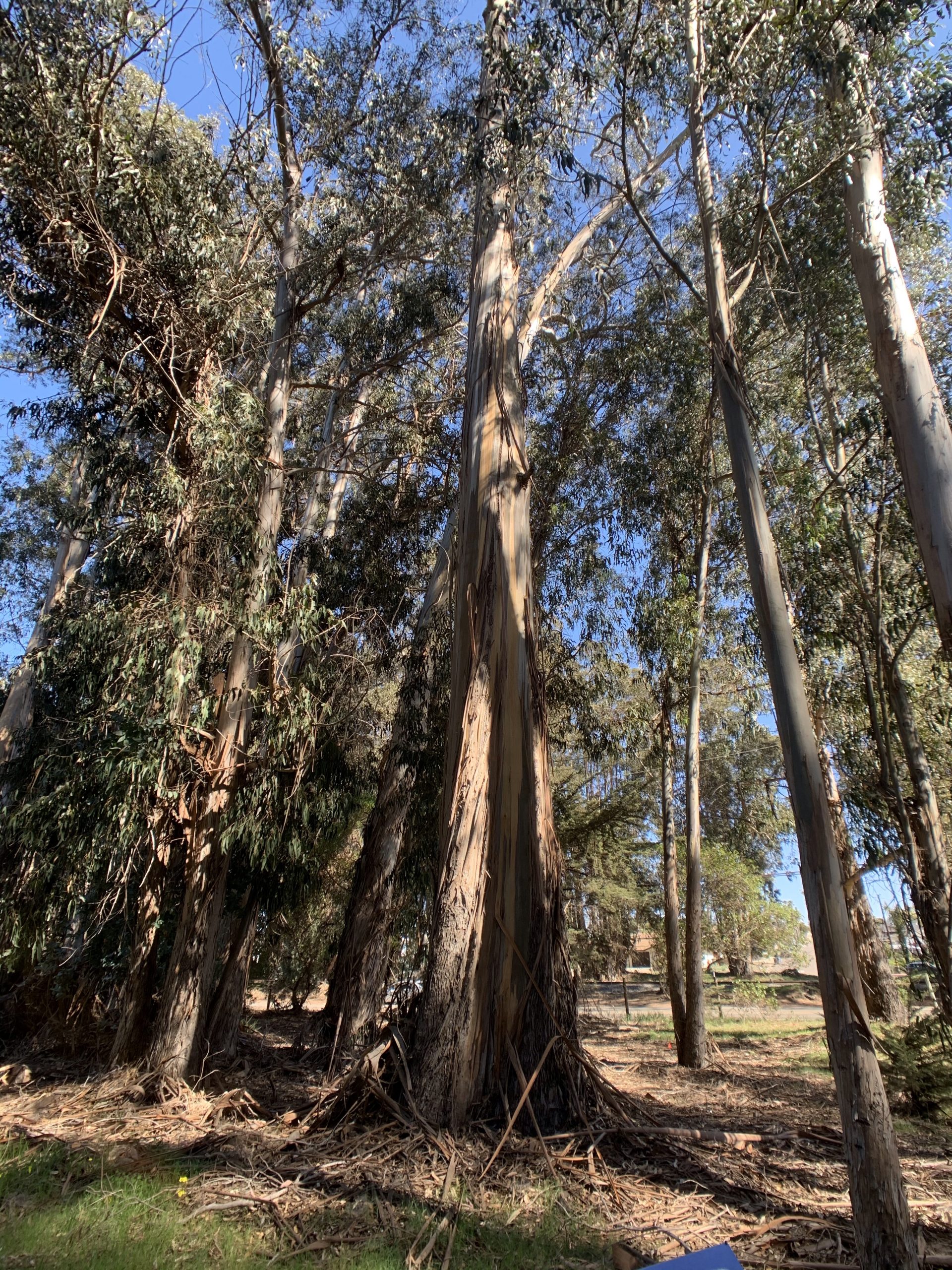
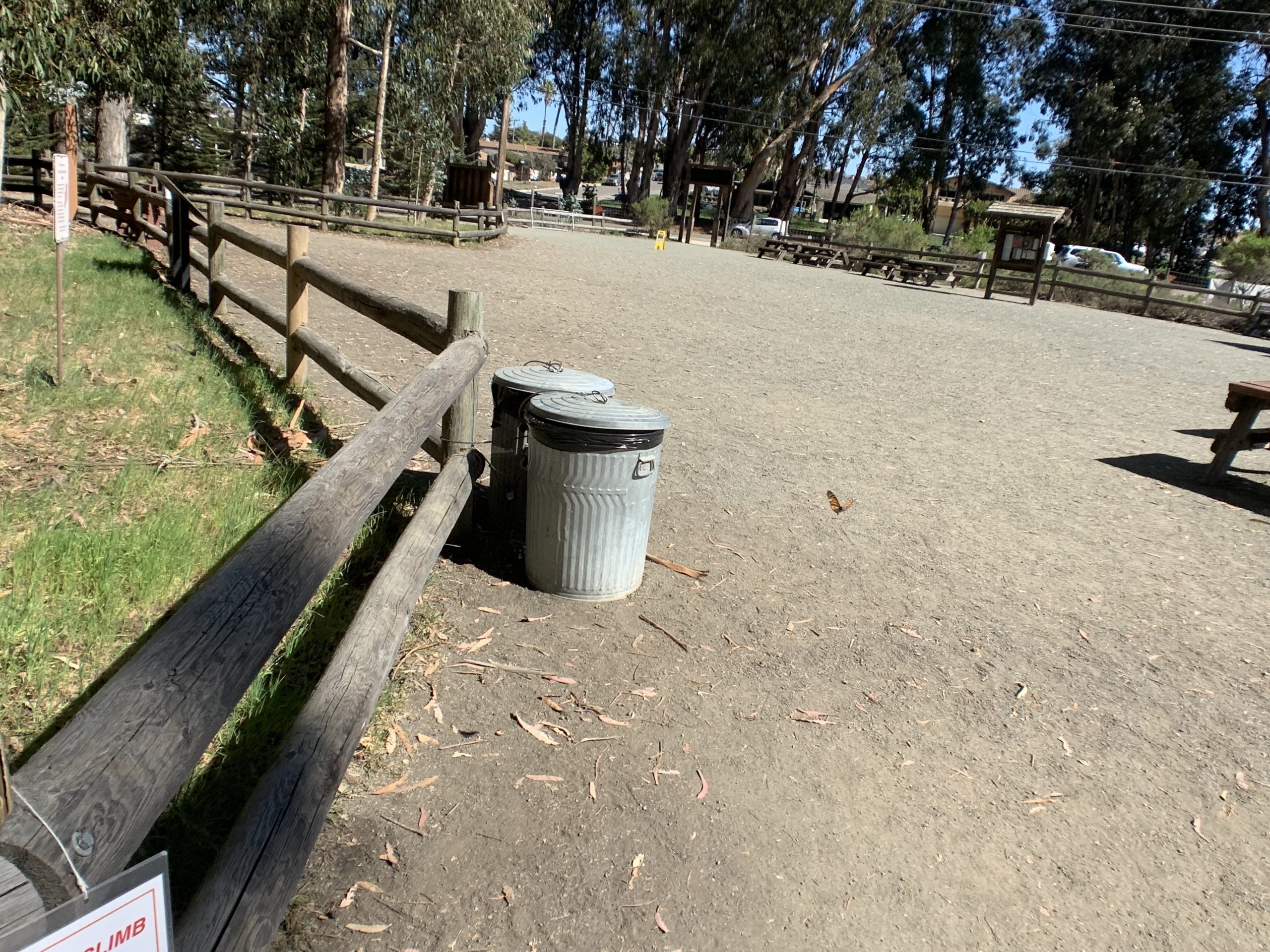
Our second stop was the Pismo State Beach Butterfly Grove, it was only a few minutes away and it was mostly just because we were here and it was free so why not! It’s pretty amazing that the Monarch Butterflies we see in Alberta make the round trip trek to and from Mexico along the coast. The grove is among Eucalyptus trees and the smell was amazing. The third picture is not of trash cans, there is a butterfly in there somewhere 😉. Timing was not the best for butterfly spotting, recently numbers have been dropping but at the peak of the migration there have been 10-20 thousand in the past few years. Way back when the numbers were in the hundreds of thousands.
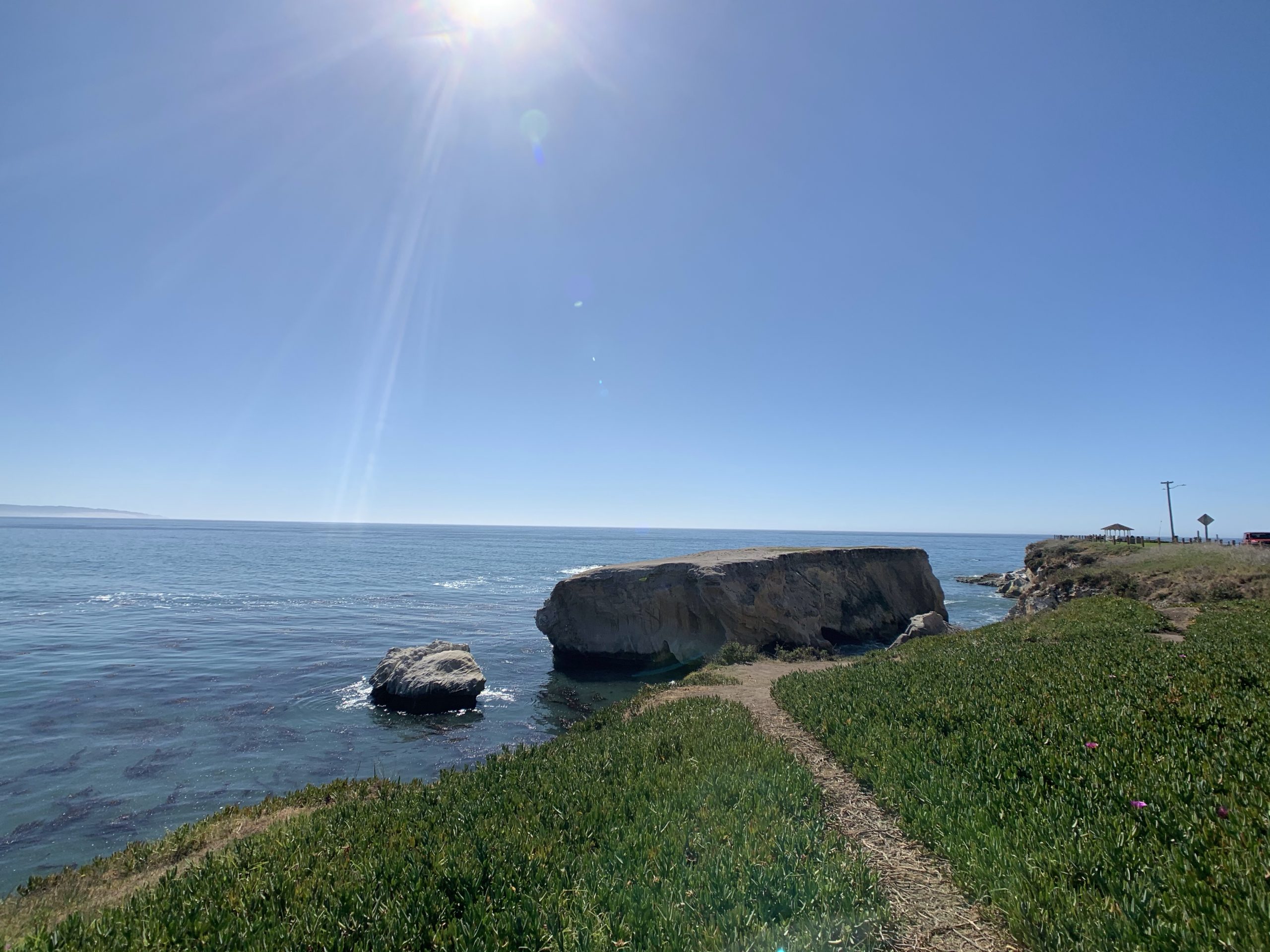
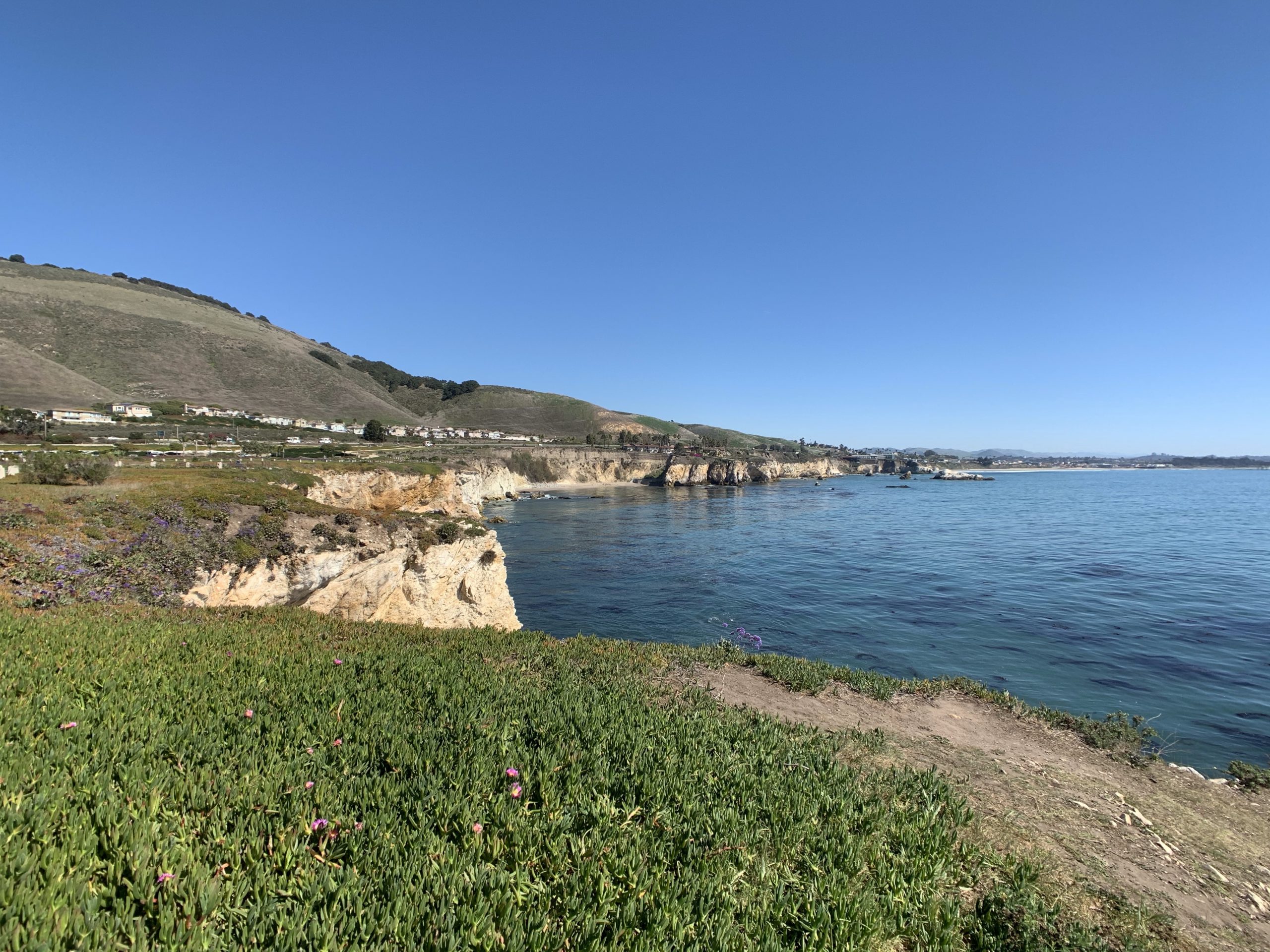
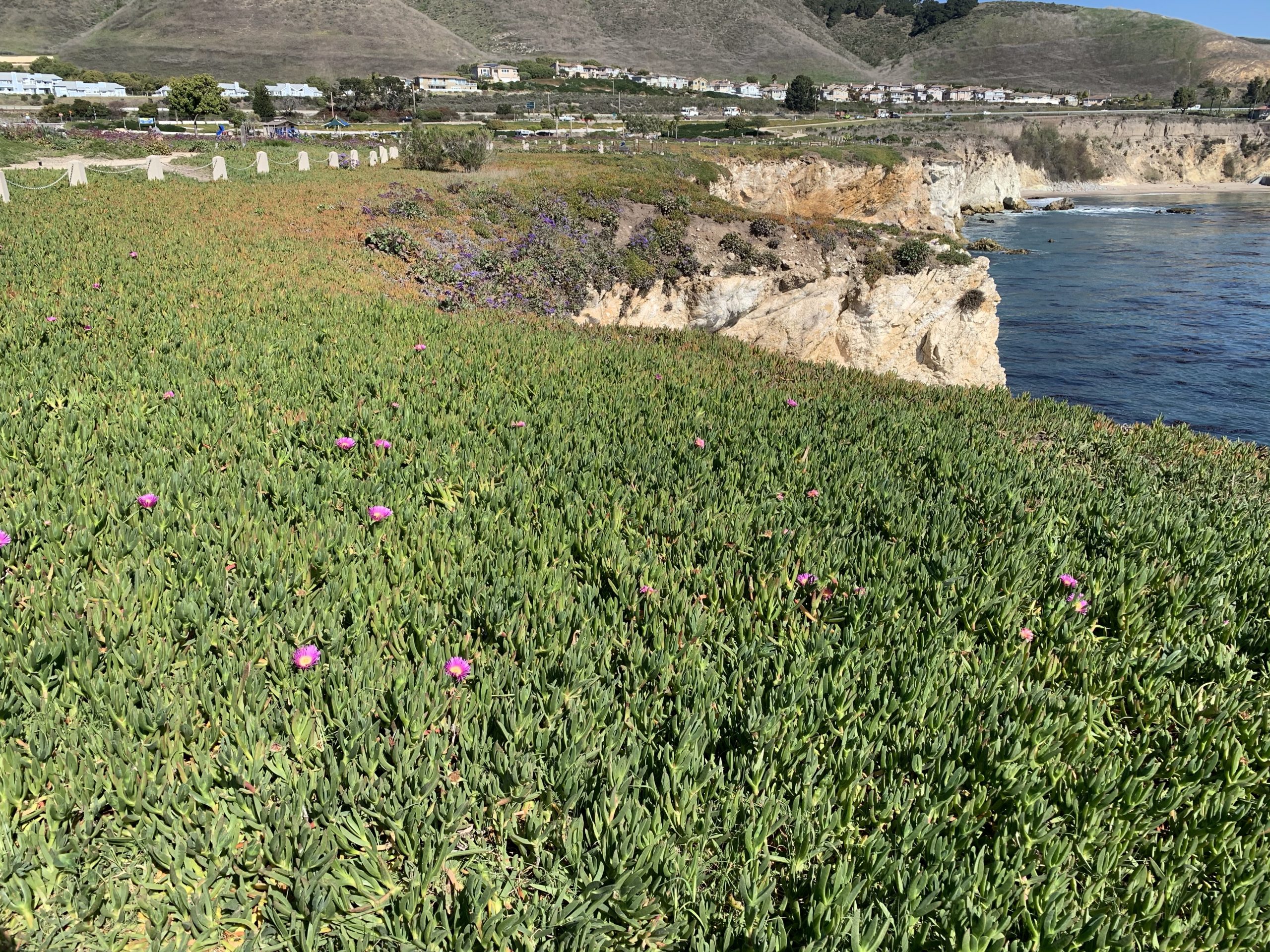
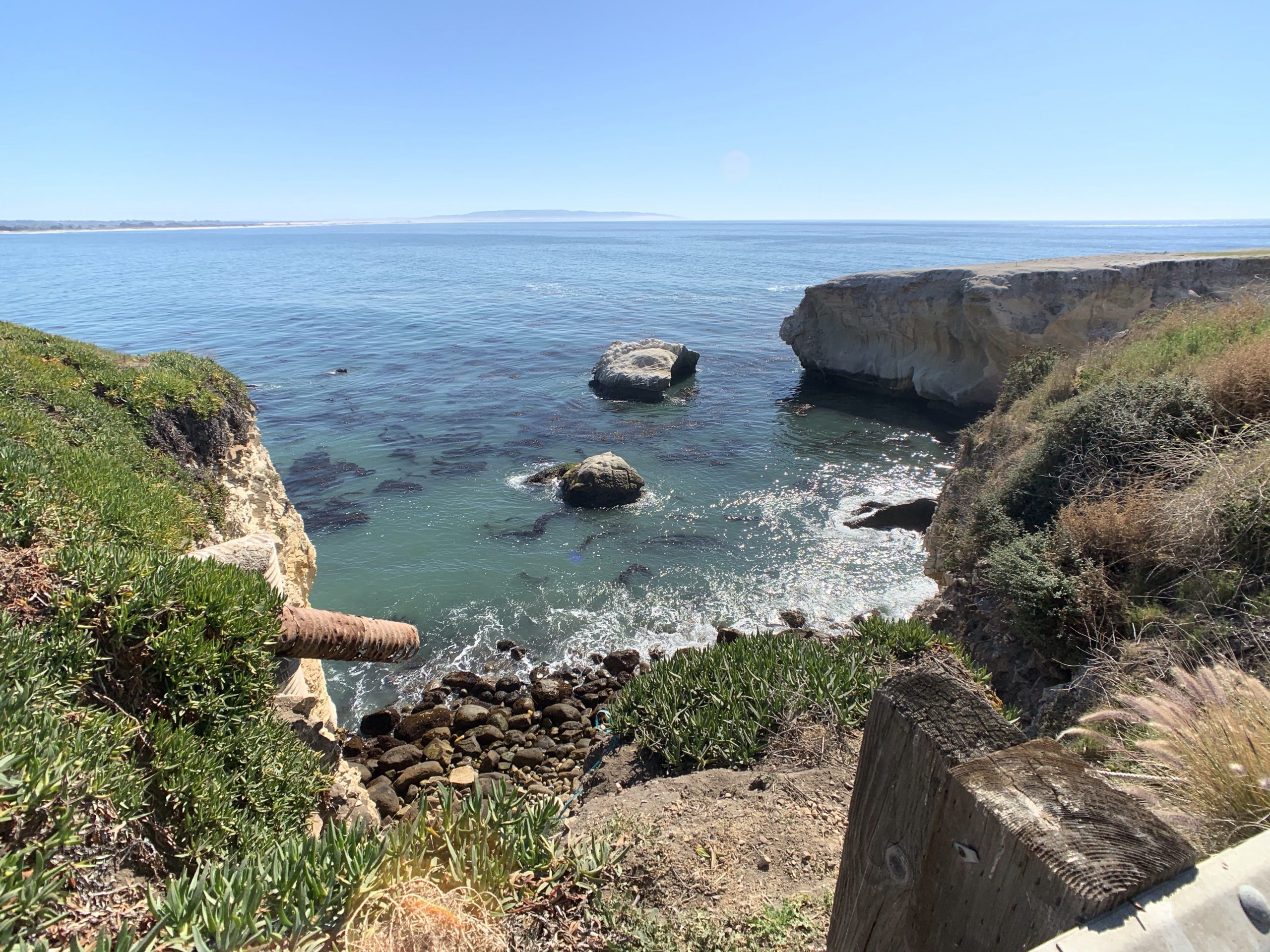
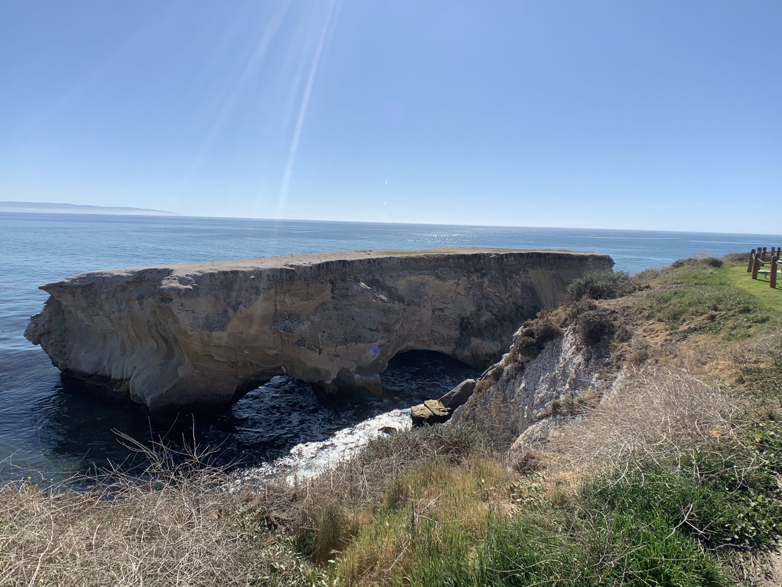
The next stop was a few minutes further down the highway, Dinosaur Caves Park. Not sure how it relates to dinosaurs..maybe just really old rock formations from the times of dinosaurs? Anyway, it was super pretty.
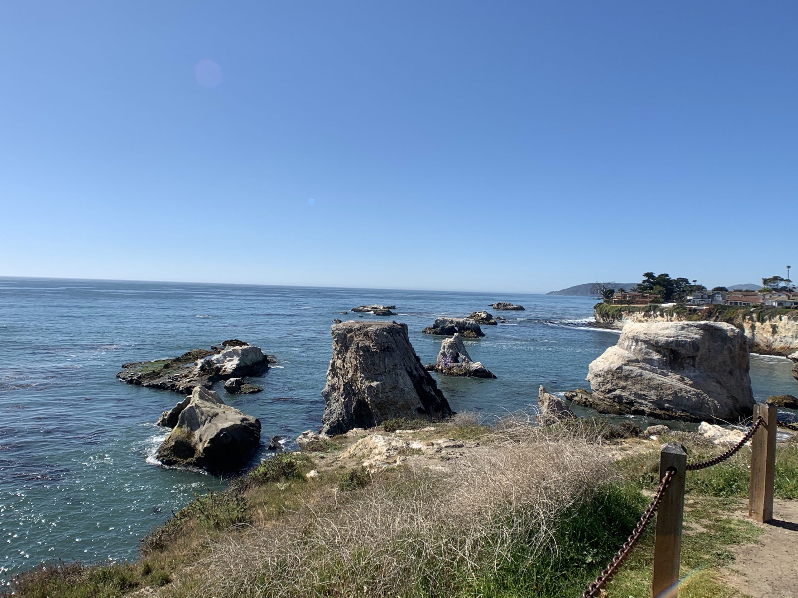
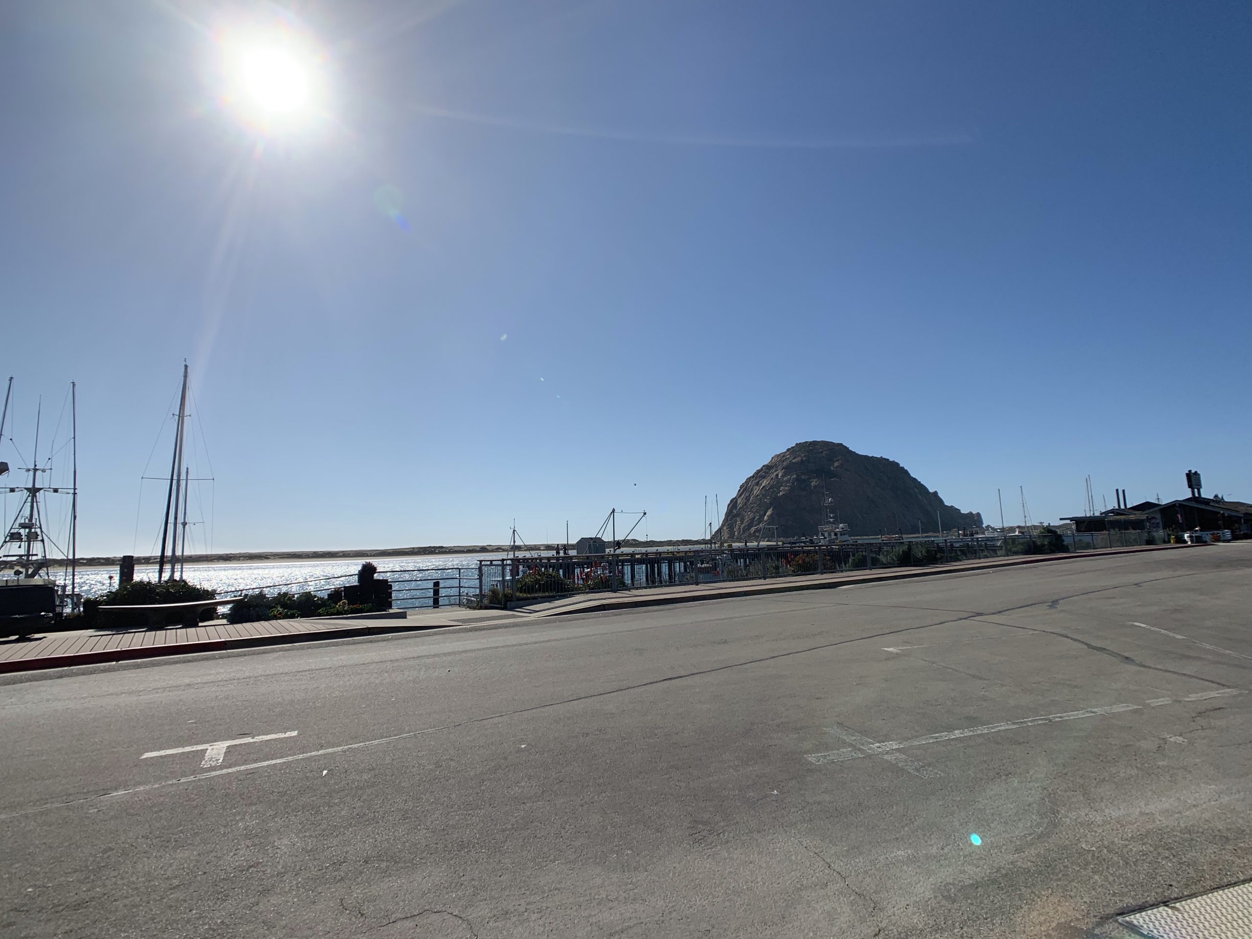
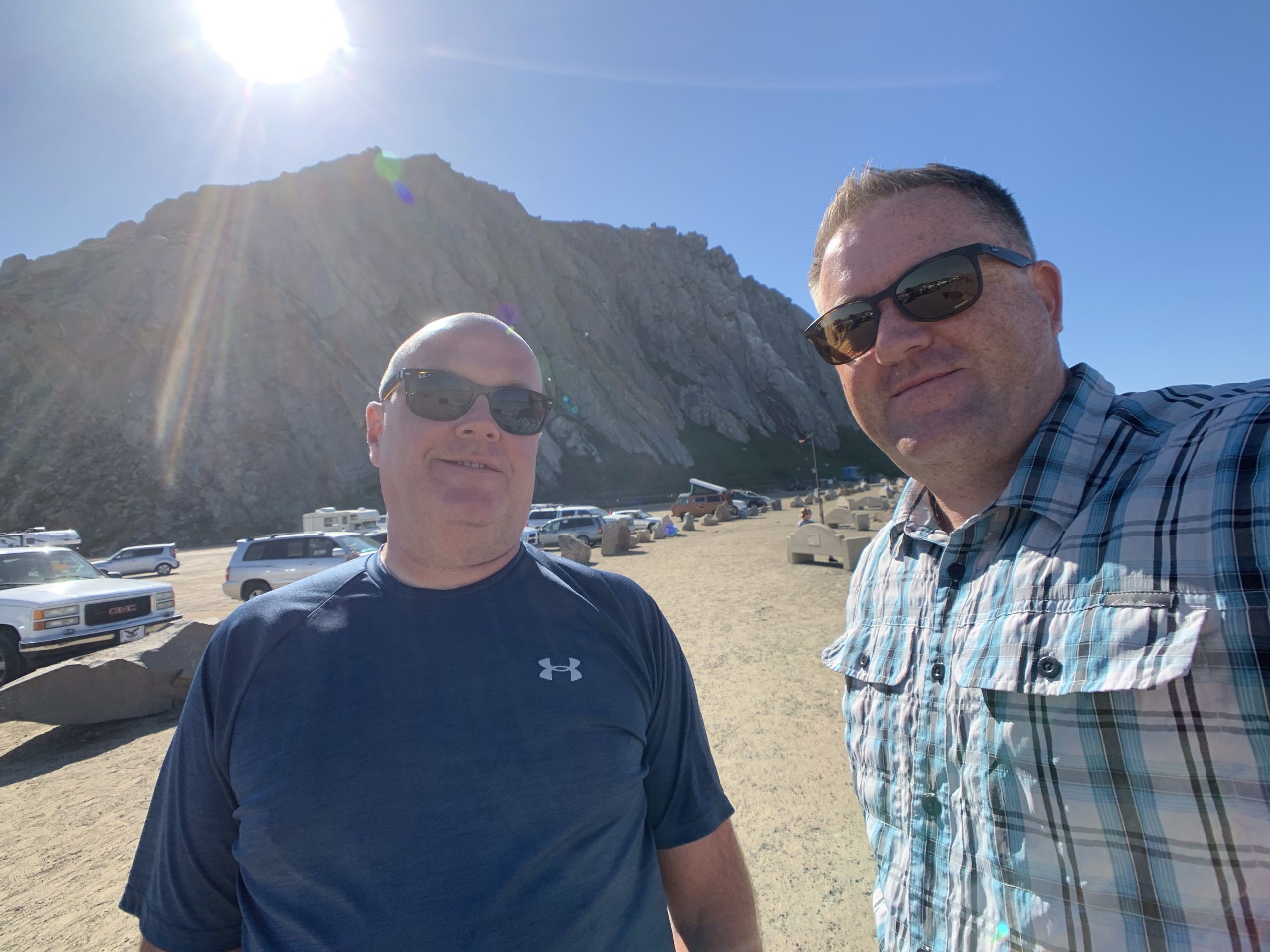
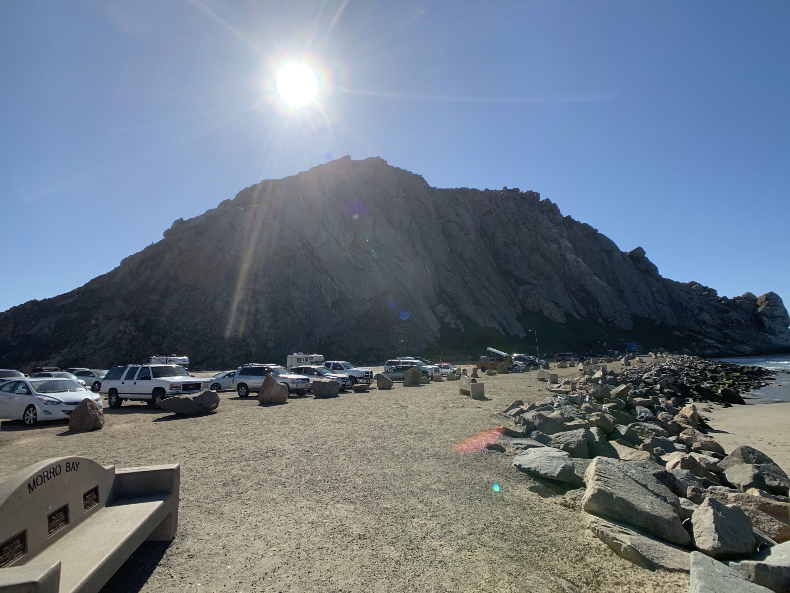
Forty five minutes down the road we came to our fourth stopping point, Morro Rock Natural Preserve. From Wikipedia, Morro Rock is a 581-foot volcanic plug, which is the remnant neck of an extinct volcano.
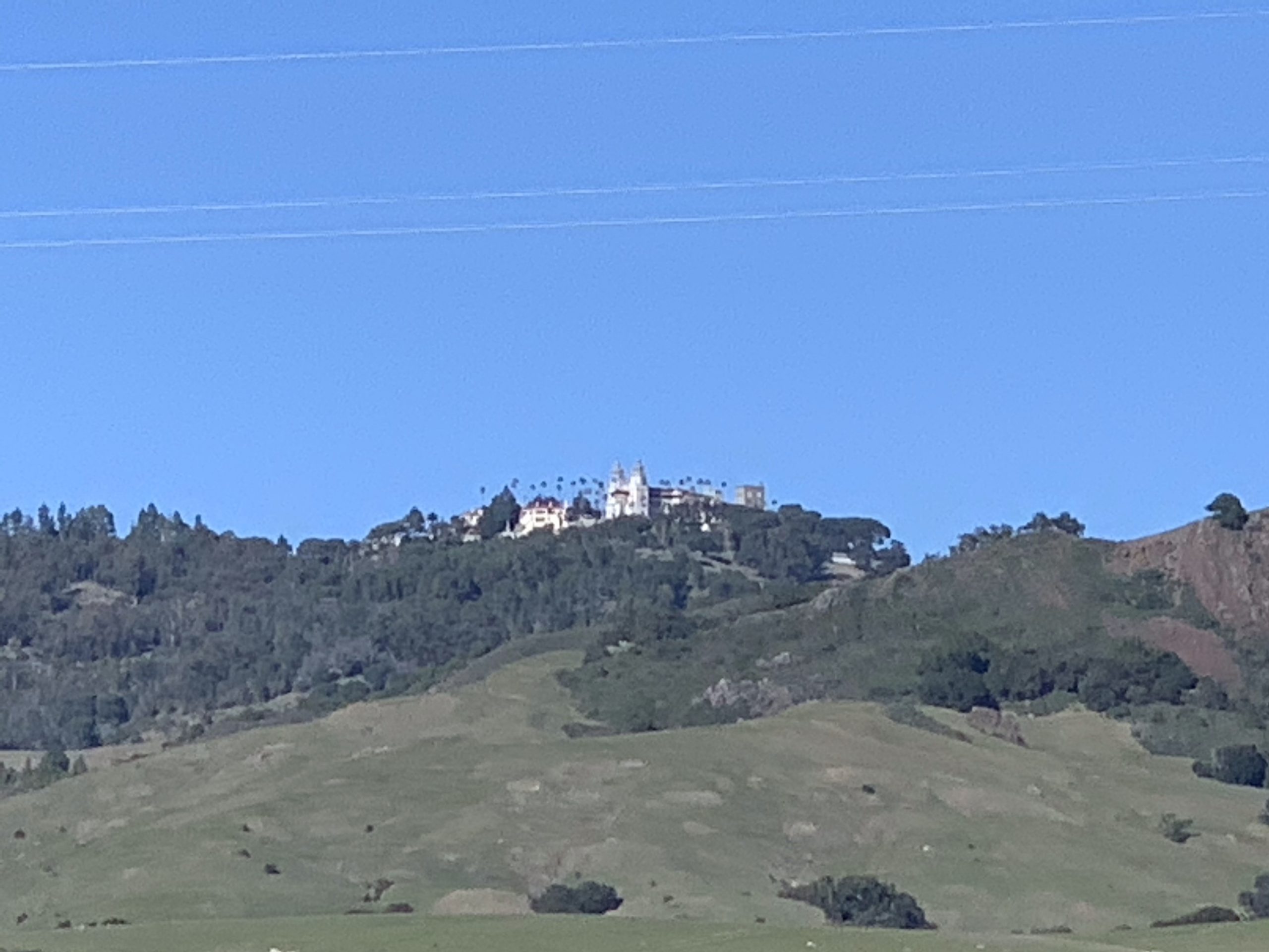
We would’ve liked to stop at the Hearst Castle but time was not on our side to make it to Monterrey before sunset. Here’s a pic from the highway, it’ll have to go on the list of stops next time.
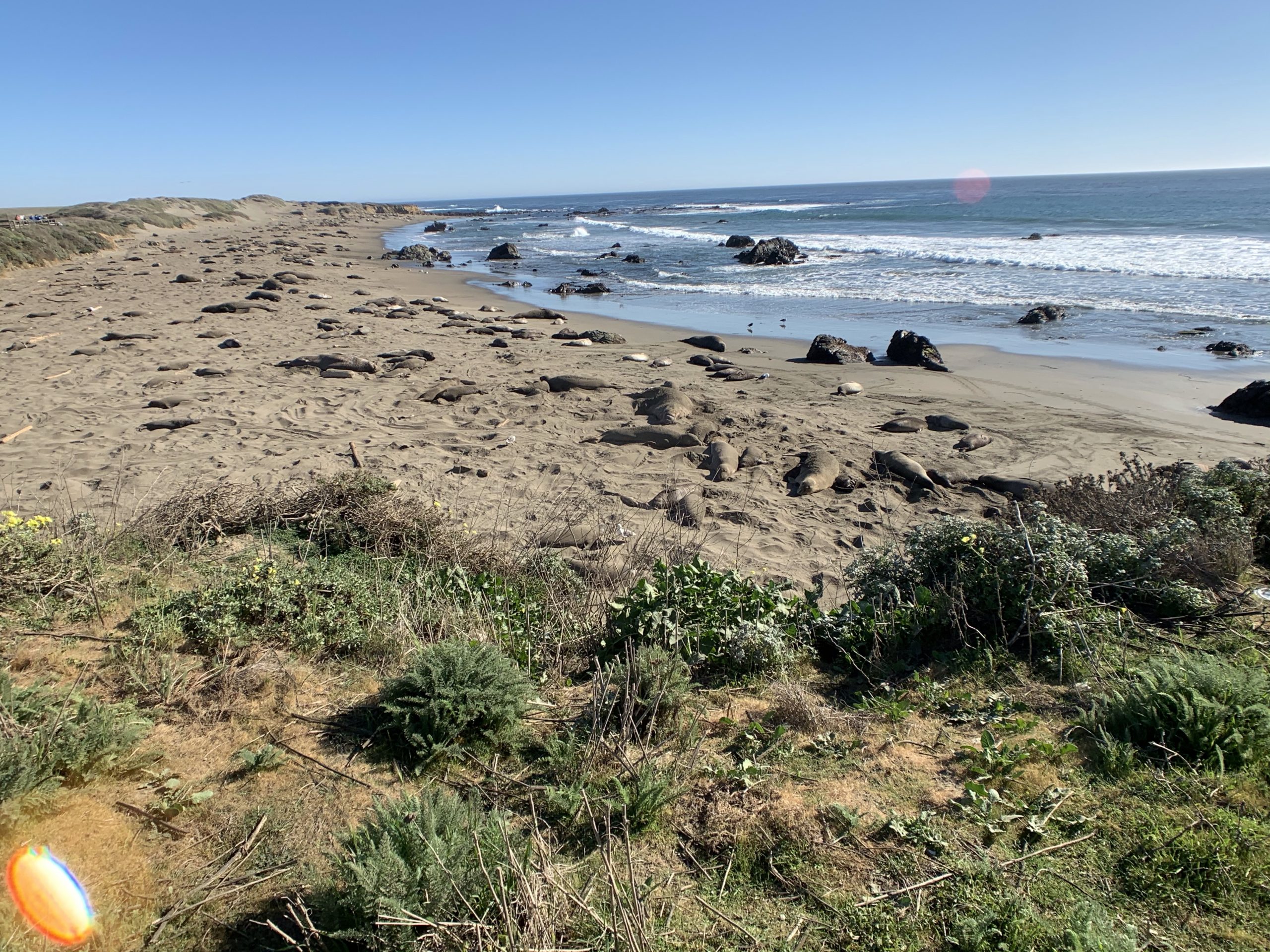
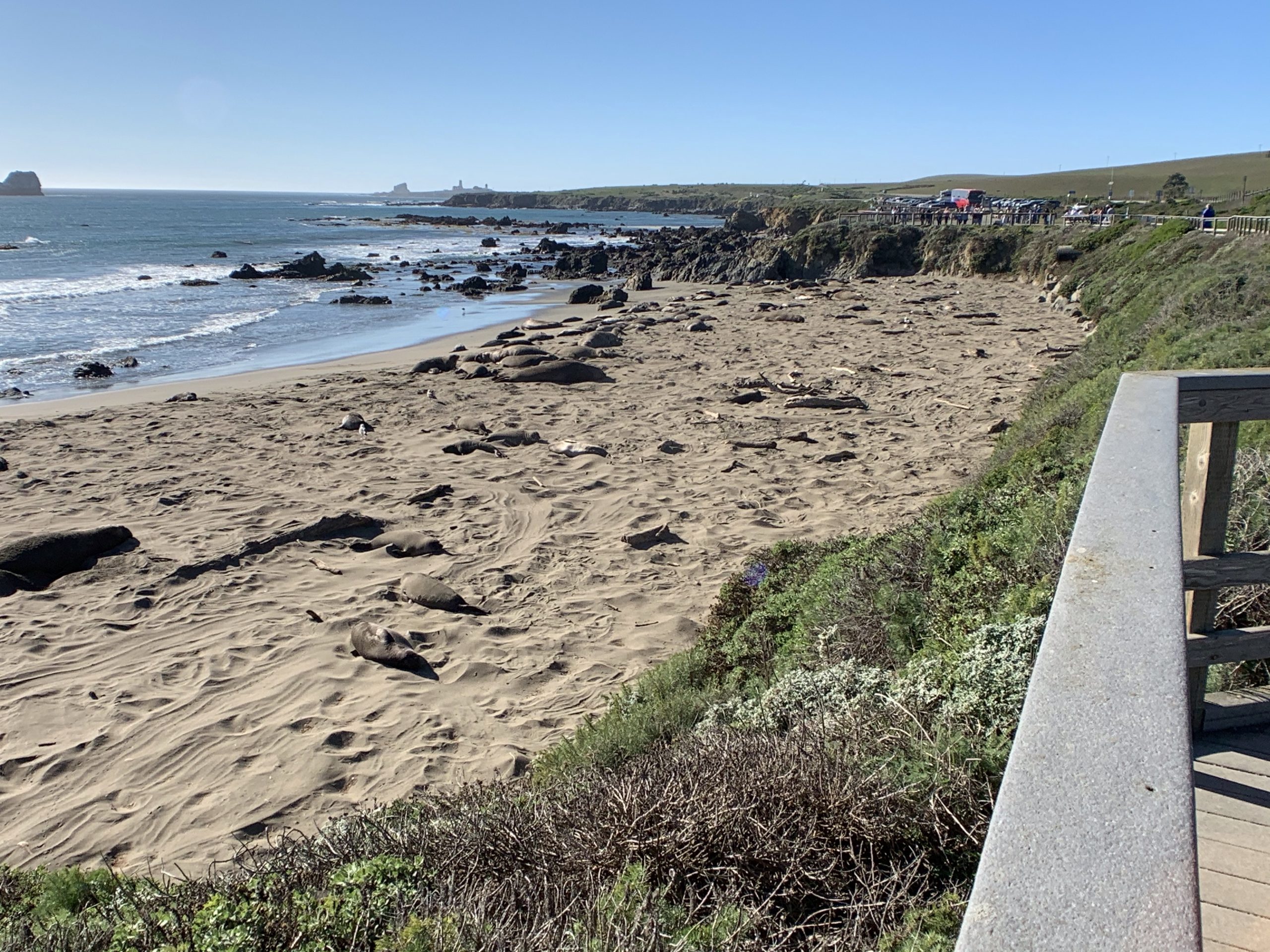
Another half hour of driving and we stopped along the Elephant Seal Boardwalk, a free educational stop. More info and a webcam here – https://www.elephantseal.org/.

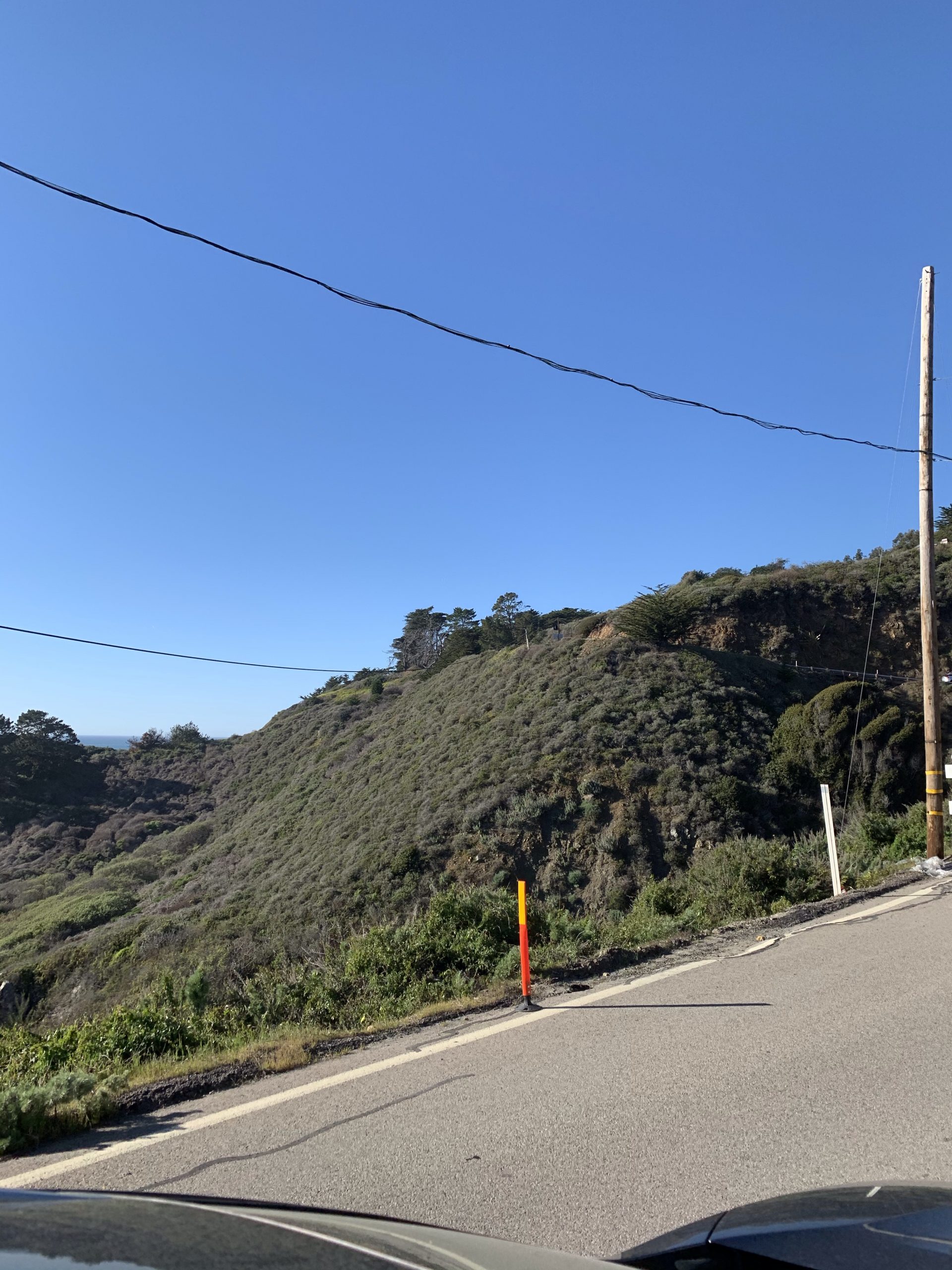
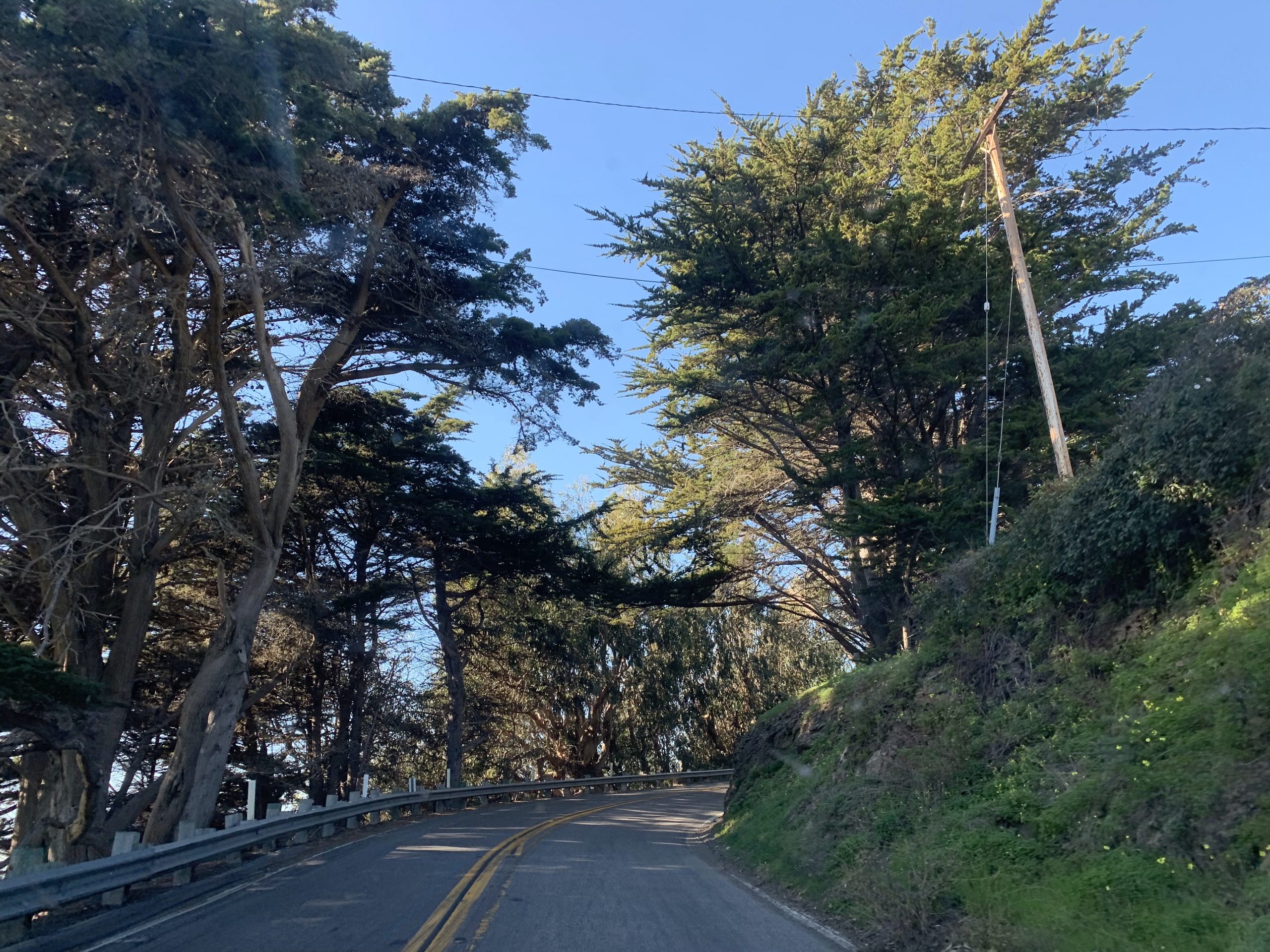
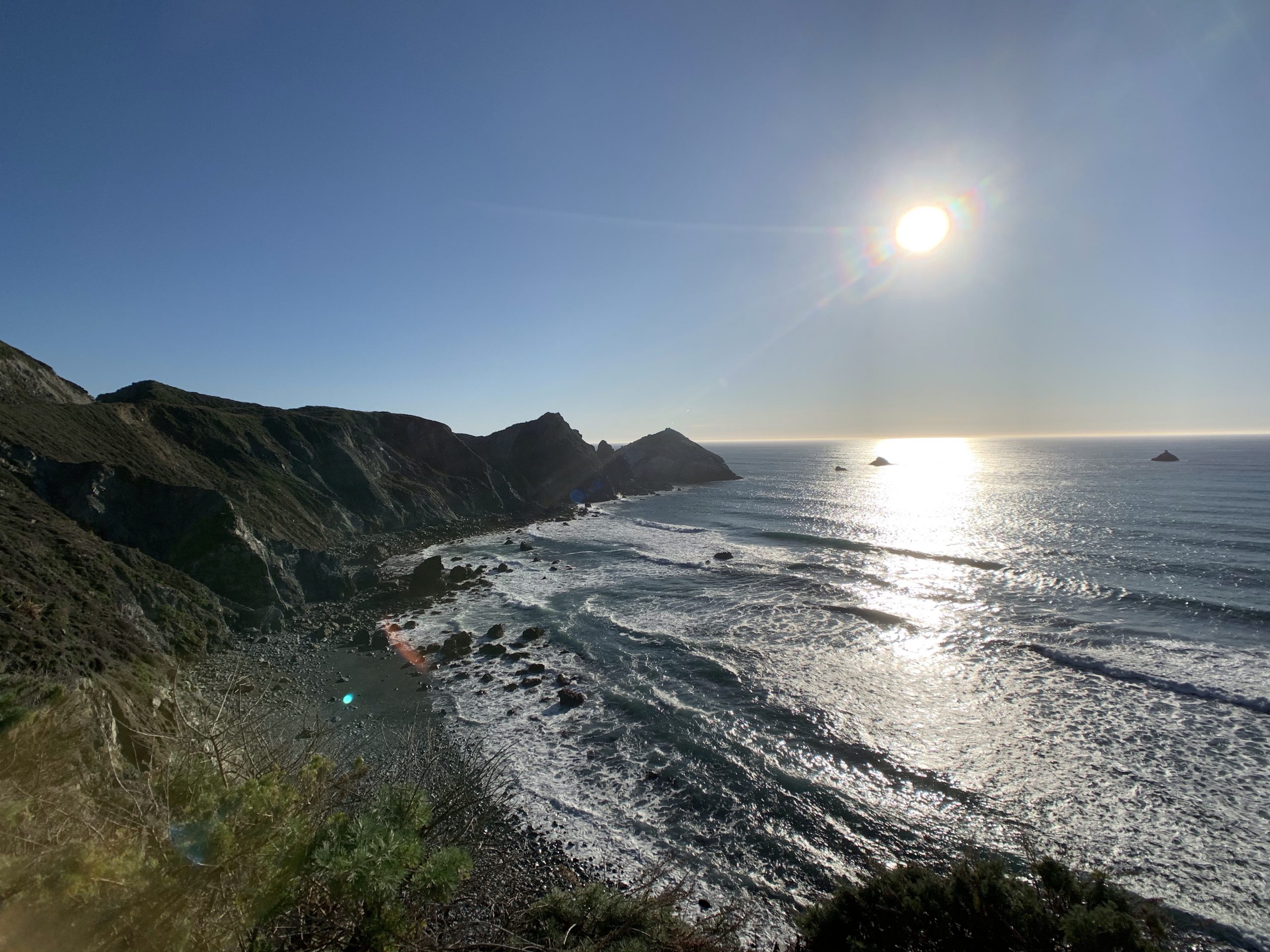
Are we there yet? Almost but not quite, only 3 more stops on this marathon blog post that has me doing a bit of sleuthing to figure out where we were, what time, how long to the next stop..how many stops! We really could’ve spent a few days doing this portion of the PCH, it was amazing! A few driving pics, no shoulder on the edge of a cliff, if you go over you are toast, we weren’t always able to smile on the drive 😱, at points it was uncomfortable and unforgettable at the same time.
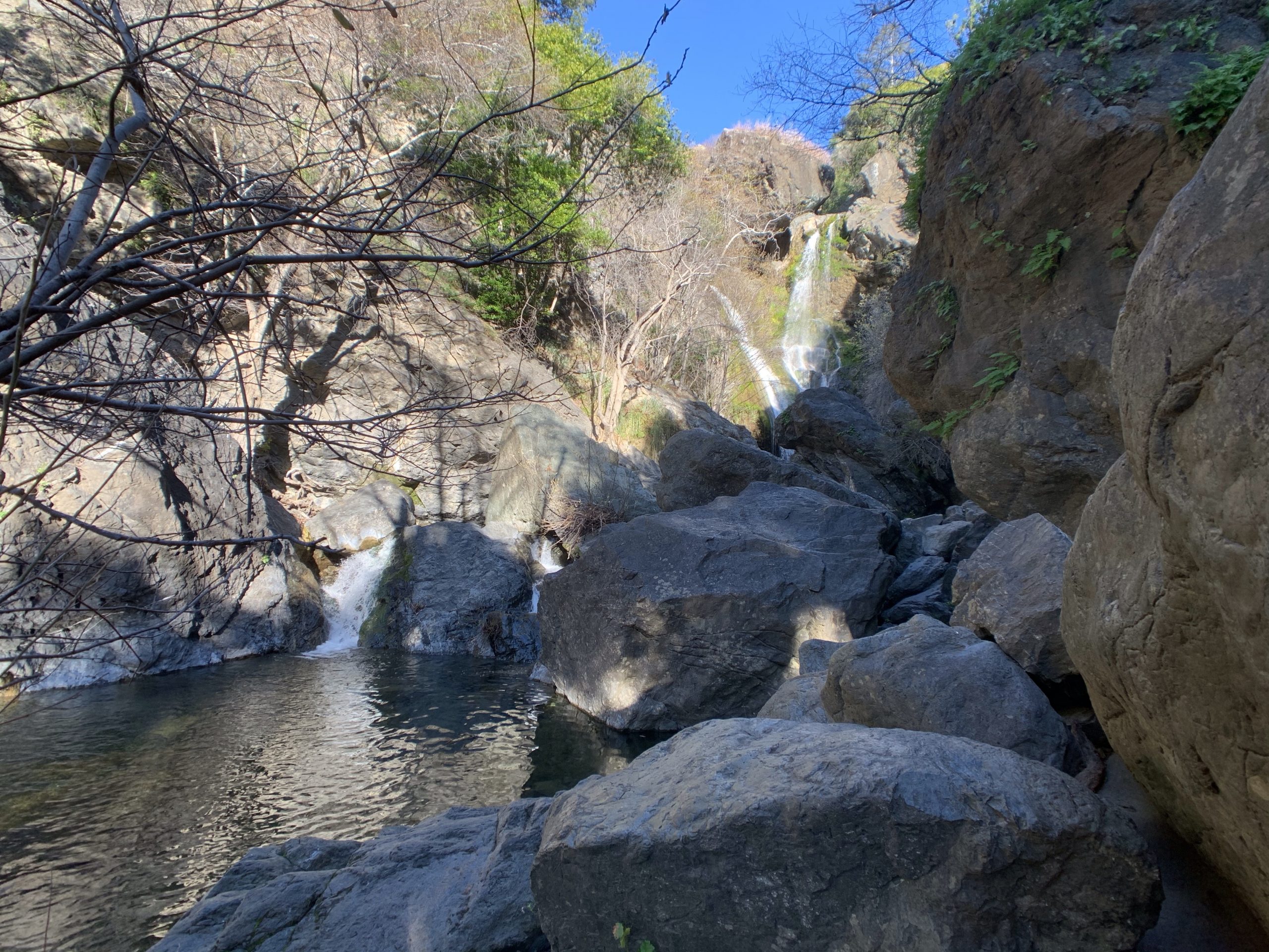
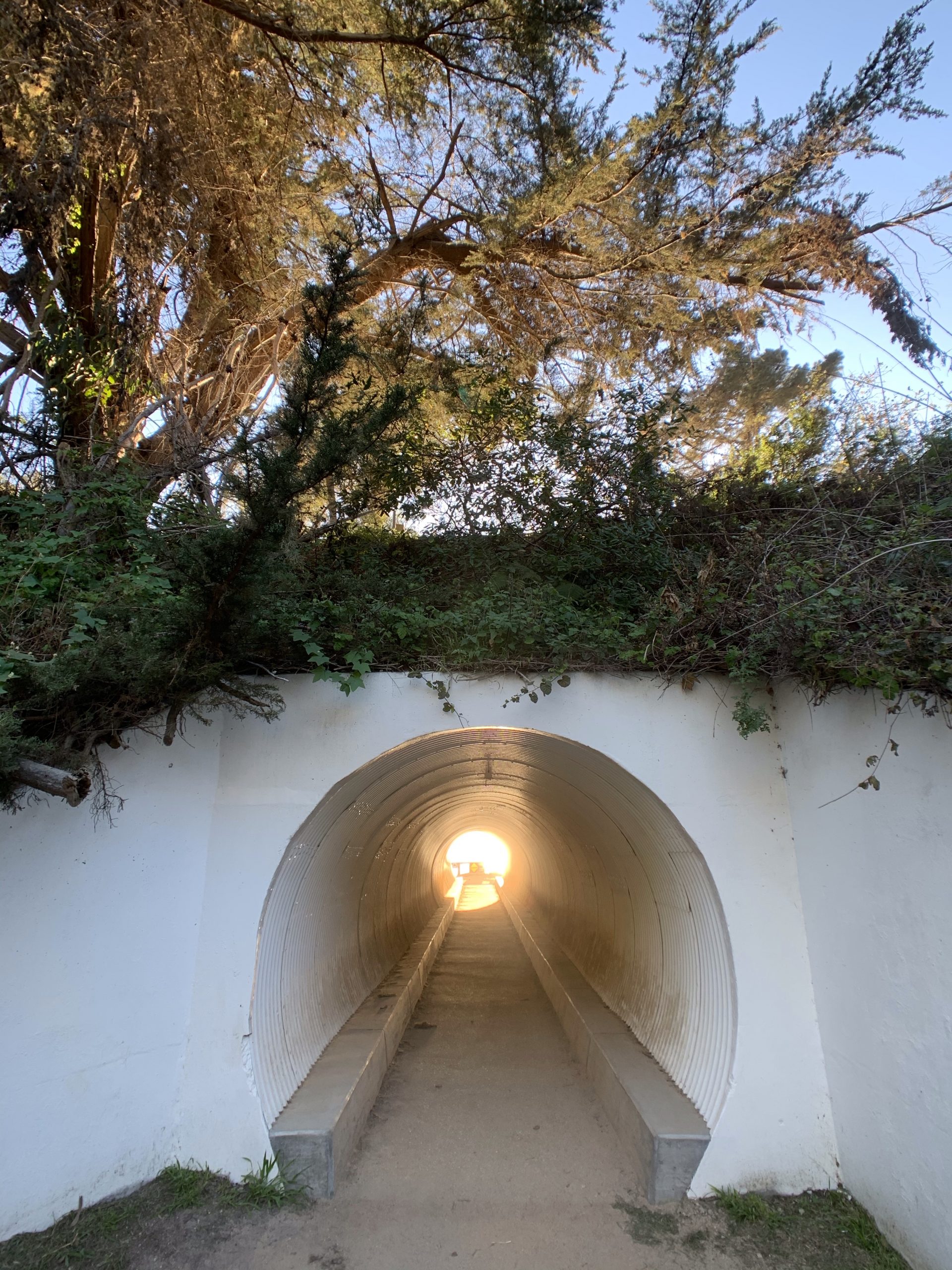
After watching the seals as we were driving I saw a waterfall on the map that was only a short 5-10 min hike off the highway so we decided to stop. There was no real parking area, a bit of shoulder that maybe 3 or 4 cars could pull off the road and if you blink you’ll miss it. There was only 1 sign by the “parking” area, as we started following the trail more trails appeared and we didn’t really know where we were going but we could hear water falling somewhere 😜. We made it to the fall, really pretty and we had it all to our selves!
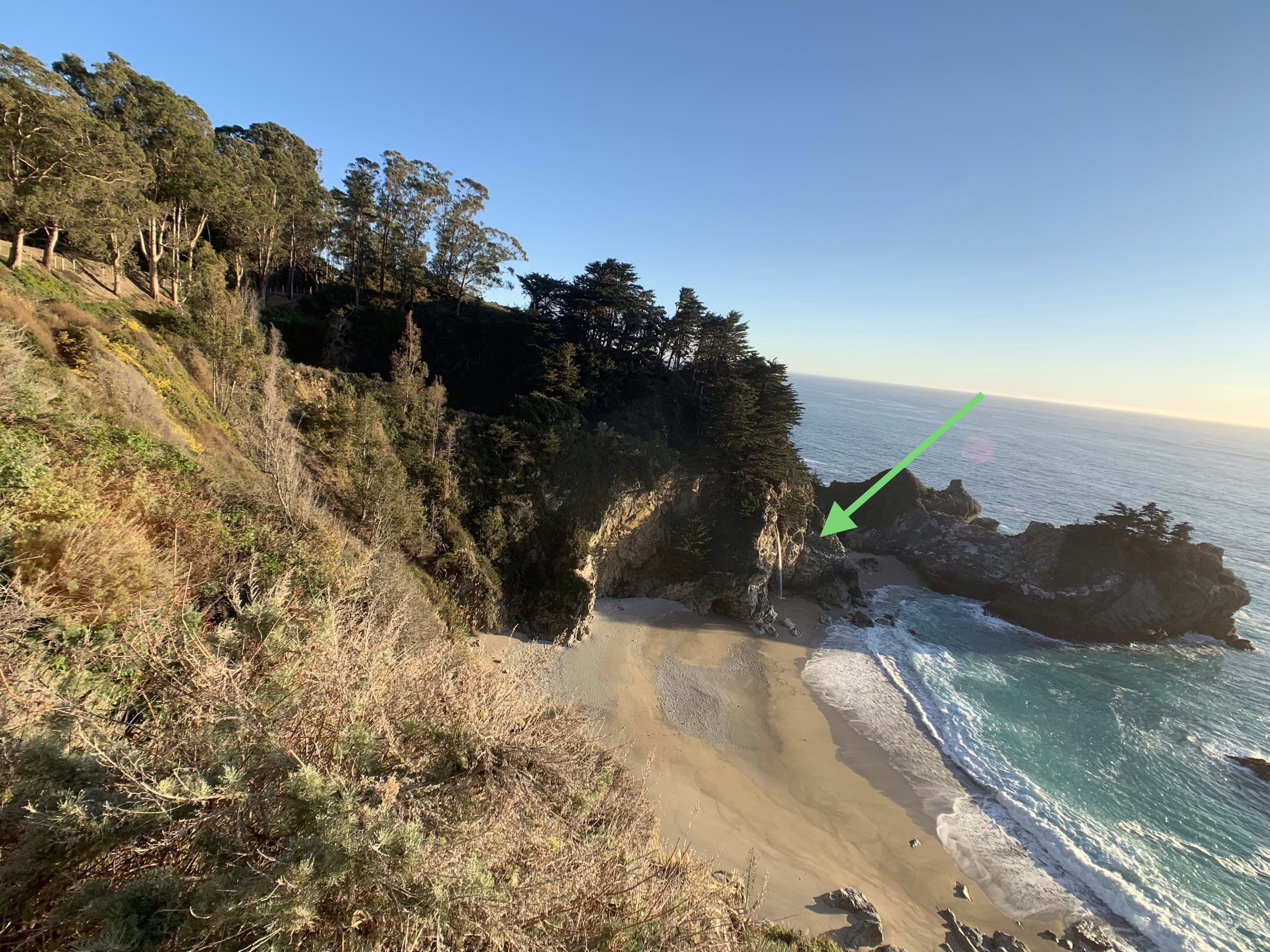
An hour later we were at our second last stop of the day! We had read a bit about McWay Falls. How the parking lot was small, people would go in and have to turn around and leave when it was full as there was no waiting for a spot enforced by Park Rangers. When we got there, there was 3 or 4 other cars so we’d mostly have the view to ourselves yet again. The waterfall is 80 feet and at high tide is a tidefall (a waterfall that empties directly into the ocean), one of two tidefalls in California.
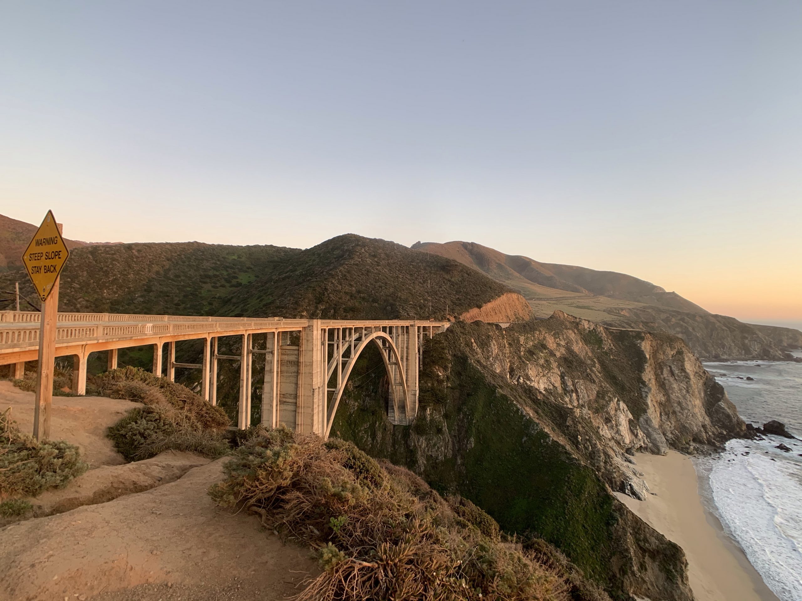
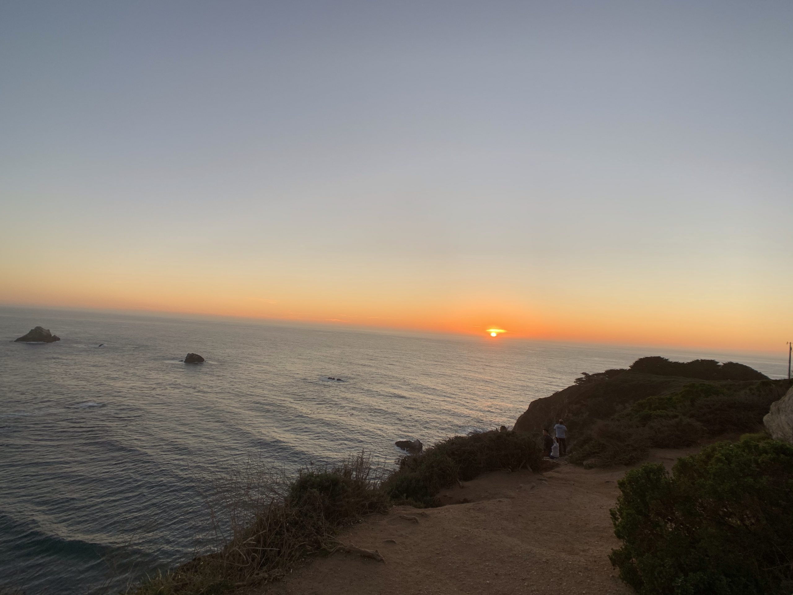
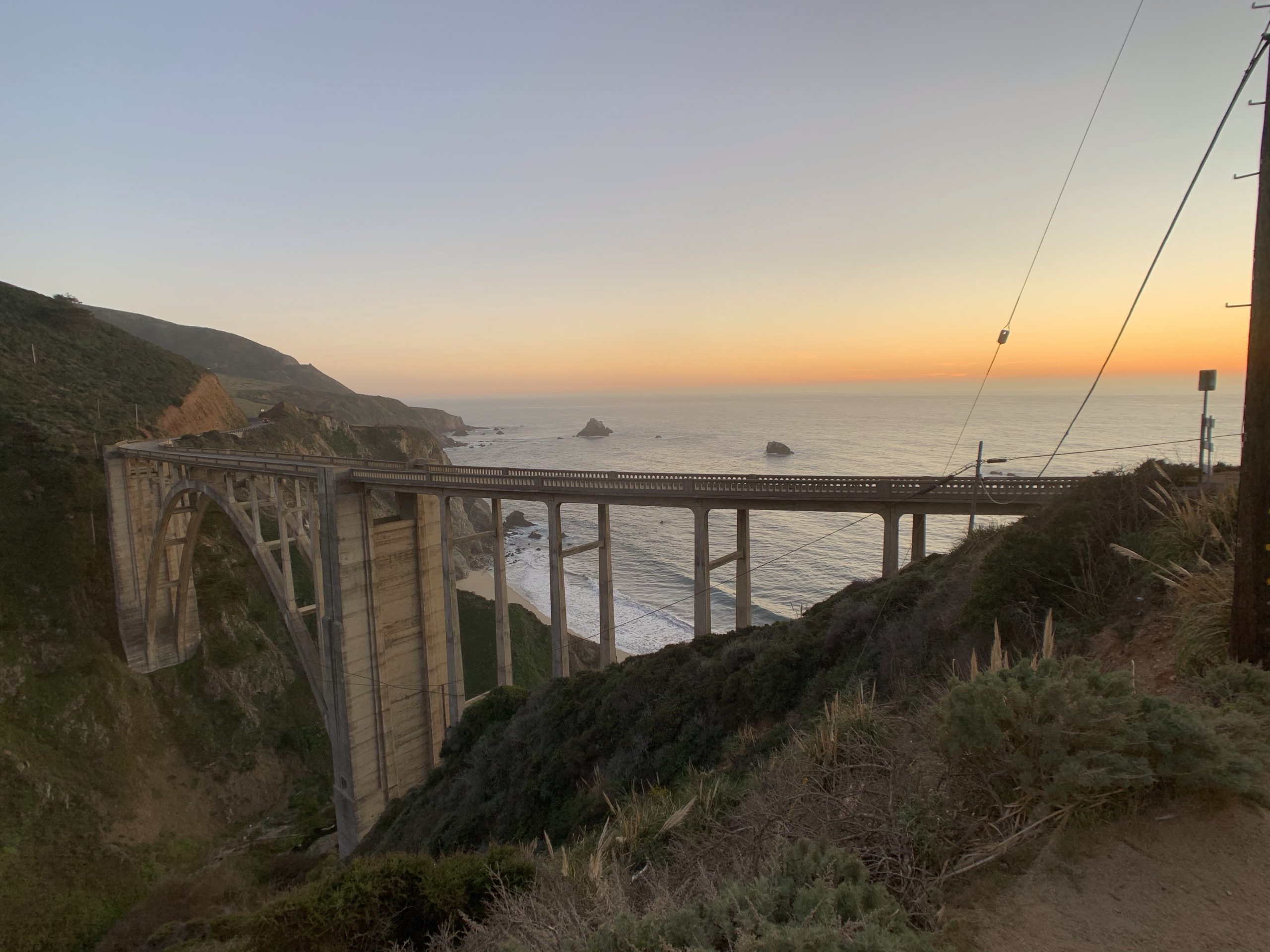
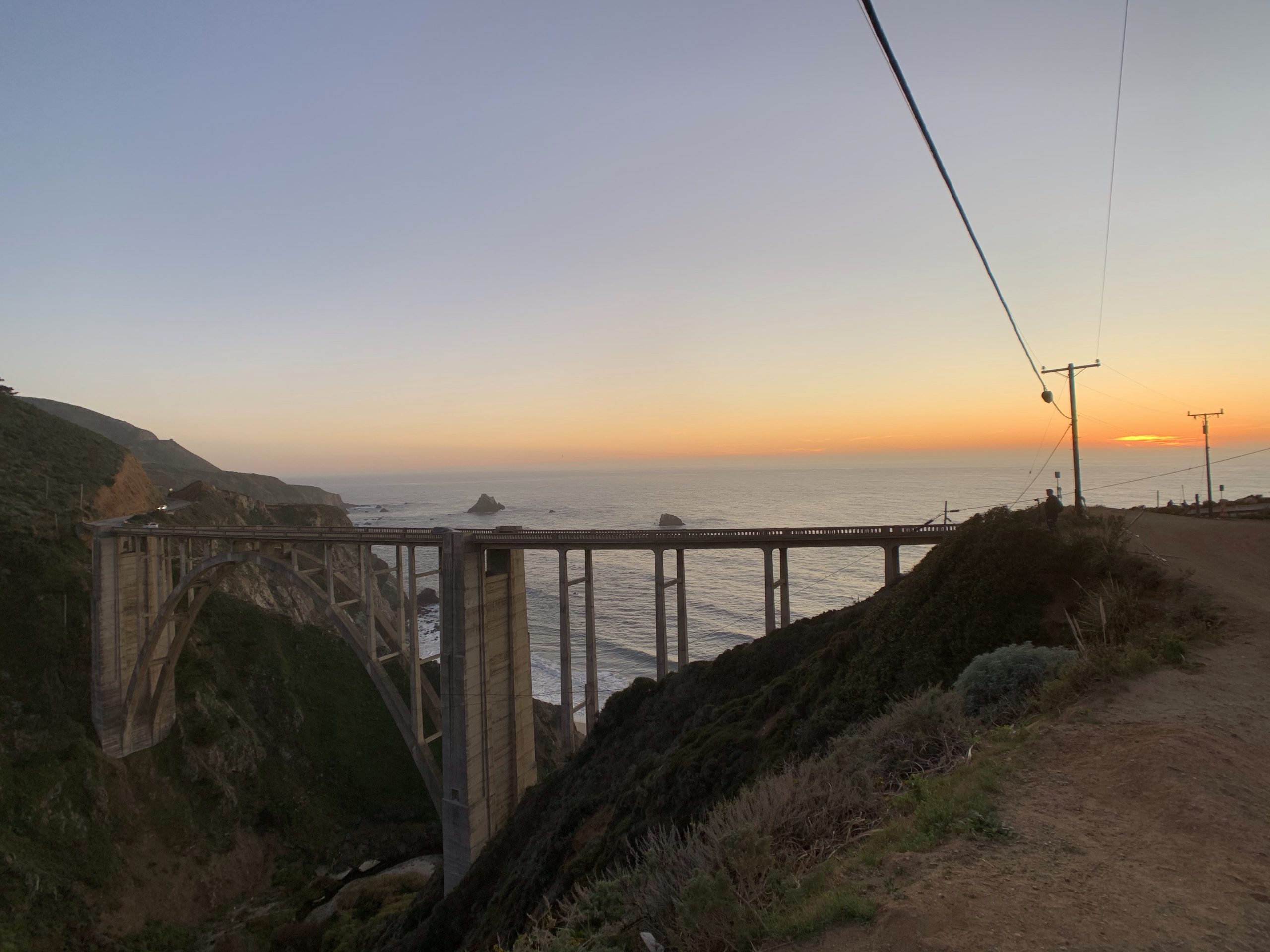
Our last stop, the Bixby Creek Bridge couldn’t have been timed better. We arrived just before sunset to see one of the most photographed bridges in California. It is also one of the tallest single-span concrete bridges in the world.
Phew! That was a long one but you made it to the end!
I have done this drive 2x now and will absolutely make sure i leave enough time for more stops in future!!
when we stopped at the elephant seals the end of Feb that entire beach was solid with animals including new born babies!!
thanks for the pics and reminders!
Awesome! It’s pretty spectacular scenery. More seals coming in the next post 😉.